
O Paraño topographic map
Interactive map
Click on the map to display elevation.
About this map
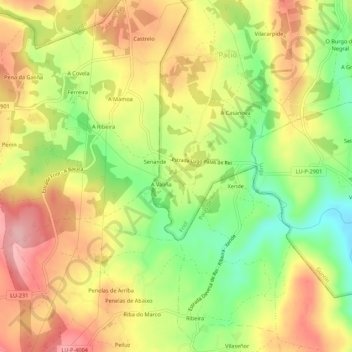
Name: O Paraño topographic map, elevation, terrain.
Location: O Paraño, Lugo, Galicia, 27206, España (42.91771 -7.82111 42.95771 -7.78111)
Average elevation: 546 m
Minimum elevation: 464 m
Maximum elevation: 618 m
Other topographic maps
Click on a map to view its topography, its elevation and its terrain.