
Grafton topographic map
Interactive map
Click on the map to display elevation.
About this map
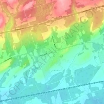
Name: Grafton topographic map, elevation, terrain.
Average elevation: 124 m
Minimum elevation: 76 m
Maximum elevation: 205 m
Other topographic maps
Click on a map to view its topography, its elevation and its terrain.
Vernonville
Canada > Ontario > Northumberland County > Alnwick/Haldimand
Vernonville, Alnwick/Haldimand, Northumberland County, Central Ontario, Ontario, K0K 2G0, Canada
Average elevation: 196 m