
Morden topographic map
Interactive map
Click on the map to display elevation.
About this map
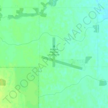
Name: Morden topographic map, elevation, terrain.
Location: Morden, Manitoba, Canada (49.20612 -98.06941 49.21450 -98.05127)
Average elevation: 292 m
Minimum elevation: 285 m
Maximum elevation: 298 m