
Riley County topographic map
Interactive map
Click on the map to display elevation.
About this map
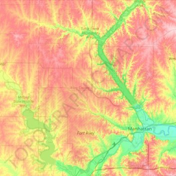
Name: Riley County topographic map, elevation, terrain.
Location: Riley County, Kansas, United States (39.04332 -96.96157 39.56651 -96.38904)
Average elevation: 382 m
Minimum elevation: 298 m
Maximum elevation: 467 m
Other topographic maps
Click on a map to view its topography, its elevation and its terrain.
Manhattan
United States > Kansas > Riley County
Manhattan, Riley County, Kansas, United States
Average elevation: 344 m