
Fountain topographic map
Interactive map
Click on the map to display elevation.
About this map
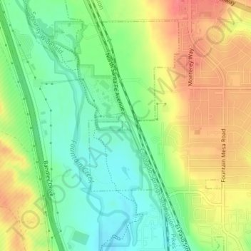
Name: Fountain topographic map, elevation, terrain.
Location: Fountain, El Paso County, Colorado, United States (38.70396 -104.71077 38.70477 -104.70957)
Average elevation: 1,719 m
Minimum elevation: 1,690 m
Maximum elevation: 1,753 m