
Kernu küla topographic map
Interactive map
Click on the map to display elevation.
About this map
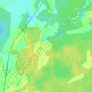
Name: Kernu küla topographic map, elevation, terrain.
Location: Kernu küla, Saue vald, Harju maakond, 76305, Estonia (59.12054 24.47575 59.14855 24.52625)
Average elevation: 53 m
Minimum elevation: 42 m
Maximum elevation: 61 m
Other topographic maps
Click on a map to view its topography, its elevation and its terrain.
Vaida alevik
Vaida alevik, Rae vald, Harju maakond, 75302, Estonia
Average elevation: 45 m
Padise
Estonia > Harju maakond > Padise
Padise, Padise küla, Lääne-Harju vald, Harju maakond, 76001, Estonia
Average elevation: 17 m