
La Garita topographic map
Interactive map
Click on the map to display elevation.
About this map
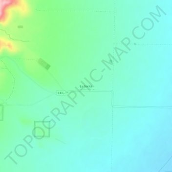
Name: La Garita topographic map, elevation, terrain.
Location: La Garita, Saguache County, Colorado, United States (37.82083 -106.26670 37.86083 -106.22670)
Average elevation: 2,384 m
Minimum elevation: 2,351 m
Maximum elevation: 2,514 m