
Perryville topographic map
Interactive map
Click on the map to display elevation.
About this map
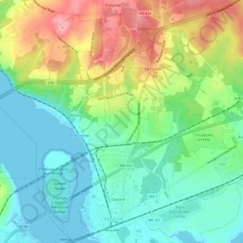
Name: Perryville topographic map, elevation, terrain.
Location: Perryville, Cecil County, Maryland, United States (39.55483 -76.08450 39.60131 -76.04241)
Average elevation: 46 m
Minimum elevation: -1 m
Maximum elevation: 129 m