
Hickling Park topographic map
Interactive map
Click on the map to display elevation.
About this map
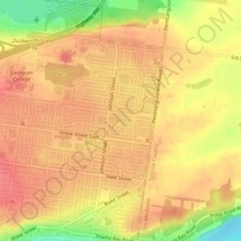
Name: Hickling Park topographic map, elevation, terrain.
Location: Hickling Park, Barrie, Central Ontario, Ontario, Canada (44.40665 -79.65476 44.40775 -79.65066)
Average elevation: 256 m
Minimum elevation: 211 m
Maximum elevation: 275 m
Other topographic maps
Click on a map to view its topography, its elevation and its terrain.