
Two Mile Village topographic map
Interactive map
Click on the map to display elevation.
About this map
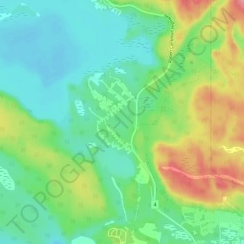
Name: Two Mile Village topographic map, elevation, terrain.
Location: Two Mile Village, Watson Lake, Yukon, Y0A 1C0, Canada (60.06715 -128.76394 60.10715 -128.72394)
Average elevation: 703 m
Minimum elevation: 671 m
Maximum elevation: 772 m