
Grindrod topographic map
Interactive map
Click on the map to display elevation.
About this map
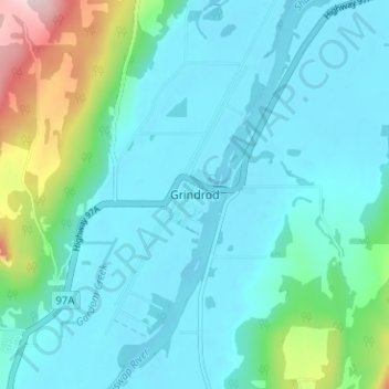
Name: Grindrod topographic map, elevation, terrain.
Average elevation: 406 m
Minimum elevation: 348 m
Maximum elevation: 681 m
Other topographic maps
Click on a map to view its topography, its elevation and its terrain.
Cooke Creek
Canada > British Columbia > Regional District of North Okanagan > Area F (Grindrod/Ashton Creek/Mabel Lake)
Cooke Creek, Area F (Grindrod/Ashton Creek/Mabel Lake), Regional District of North Okanagan, British Columbia, Canada
Average elevation: 838 m