
Port Burwell topographic map
Interactive map
Click on the map to display elevation.
About this map
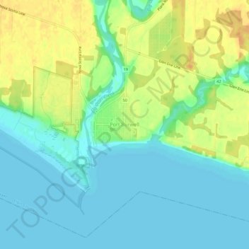
Name: Port Burwell topographic map, elevation, terrain.
Location: Port Burwell, Elgin County, Ontario, N0J 1T0, Canada (42.62672 -80.82034 42.66672 -80.78034)
Average elevation: 185 m
Minimum elevation: 172 m
Maximum elevation: 205 m