
Loveland topographic map
Interactive map
Click on the map to display elevation.
About this map
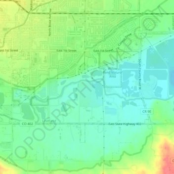
Name: Loveland topographic map, elevation, terrain.
Location: Loveland, Larimer County, Colorado, USA (40.37837 -105.07323 40.39271 -105.02825)
Average elevation: 1,502 m
Minimum elevation: 1,480 m
Maximum elevation: 1,543 m