
Puerto Berrío topographic map
Interactive map
Click on the map to display elevation.
About this map
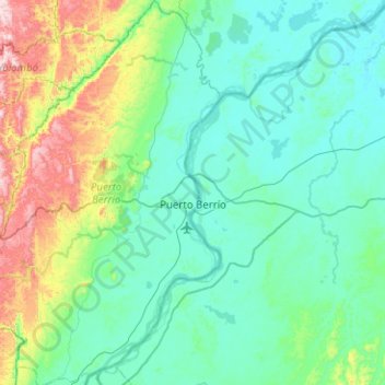
Name: Puerto Berrío topographic map, elevation, terrain.
Location: Puerto Berrío, Magdalena Medio, Antioquia, Colombia (6.25447 -74.75795 6.75488 -74.36514)
Average elevation: 209 m
Minimum elevation: 81 m
Maximum elevation: 786 m