
Tänndalen topographic map
Interactive map
Click on the map to display elevation.
About this map
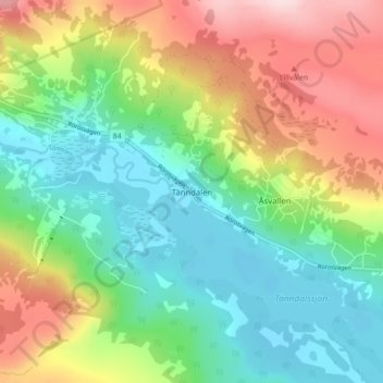
Name: Tänndalen topographic map, elevation, terrain.
Location: Tänndalen, Härjedalens kommun, Jämtland County, 840 98, Sweden (62.52236 12.31603 62.56236 12.35603)
Average elevation: 809 m
Minimum elevation: 710 m
Maximum elevation: 976 m