
Odessa topographic map
Interactive map
Click on the map to display elevation.
About this map
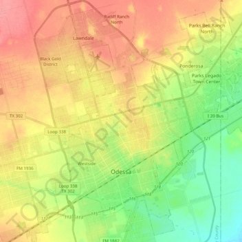
Name: Odessa topographic map, elevation, terrain.
Location: Odessa, Ector County, Texas, United States (31.79747 -102.44206 31.96315 -102.24818)
Average elevation: 894 m
Minimum elevation: 861 m
Maximum elevation: 926 m
Other topographic maps
Click on a map to view its topography, its elevation and its terrain.
Headlee Oil Field
United States > Texas > Ector County > Odessa
Headlee Oil Field, Odessa, Ector County, Texas, 79762, United States
Average elevation: 880 m