
Area E (Cherryville/East Creighton) topographic map
Interactive map
Click on the map to display elevation.
About this map
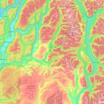
Name: Area E (Cherryville/East Creighton) topographic map, elevation, terrain.
Average elevation: 1,257 m
Minimum elevation: 342 m
Maximum elevation: 2,856 m