
Seri Iskandar topographic map
Interactive map
Click on the map to display elevation.
About this map
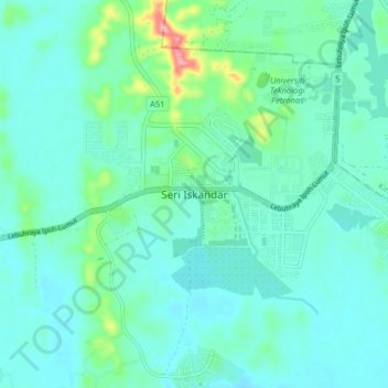
Name: Seri Iskandar topographic map, elevation, terrain.
Location: Seri Iskandar, Perak Tengah, Perak, 32610, Malaysia (4.32125 100.91087 4.40125 100.99087)
Average elevation: 29 m
Minimum elevation: 4 m
Maximum elevation: 148 m