
Lakeside City topographic map
Interactive map
Click on the map to display elevation.
About this map
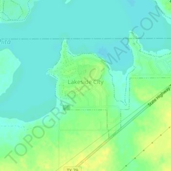
Name: Lakeside City topographic map, elevation, terrain.
Location: Lakeside City, Archer County, Texas, United States (33.81960 -98.55264 33.83563 -98.52406)
Average elevation: 302 m
Minimum elevation: 294 m
Maximum elevation: 314 m