
Houlton topographic map
Interactive map
Click on the map to display elevation.
About this map
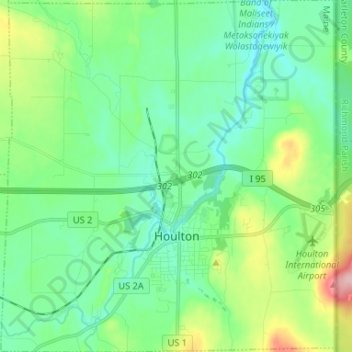
Name: Houlton topographic map, elevation, terrain.
Location: Houlton, Aroostook County, Maine, 04730, United States (46.09511 -67.90656 46.18619 -67.78123)
Average elevation: 133 m
Minimum elevation: 89 m
Maximum elevation: 263 m