
Hansapur topographic map
Interactive map
Click on the map to display elevation.
About this map
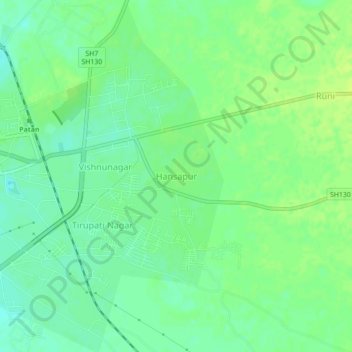
Name: Hansapur topographic map, elevation, terrain.
Location: Hansapur, Patan Taluka, Patan, Gujarat, 384200, India (23.82832 72.12914 23.86832 72.16914)
Average elevation: 86 m
Minimum elevation: 78 m
Maximum elevation: 93 m