
Yamate topographic map
Interactive map
Click on the map to display elevation.
About this map
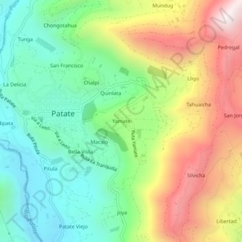
Name: Yamate topographic map, elevation, terrain.
Location: Yamate, Patate, Tungurahua, 180550, Ecuador (-1.33340 -78.51707 -1.29340 -78.47707)
Average elevation: 2,446 m
Minimum elevation: 2,010 m
Maximum elevation: 3,121 m