
Garissa County topographic map
Interactive map
Click on the map to display elevation.
About this map
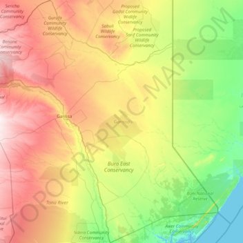
Name: Garissa County topographic map, elevation, terrain.
Location: Garissa County, Northeast Kenya, Kenya (-2.03993 38.65833 0.99187 41.55938)
Average elevation: 135 m
Minimum elevation: 0 m
Maximum elevation: 477 m