
Mandera topographic map
Interactive map
Click on the map to display elevation.
About this map
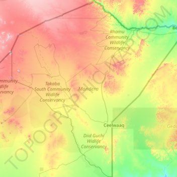
Name: Mandera topographic map, elevation, terrain.
Location: Mandera, Northeast Kenya, Kenya (2.17363 39.78524 4.28494 41.90675)
Average elevation: 540 m
Minimum elevation: 196 m
Maximum elevation: 1,332 m