
Asaita topographic map
Interactive map
Click on the map to display elevation.
About this map
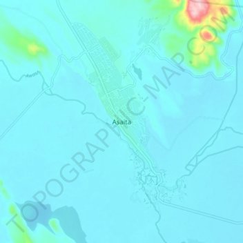
Name: Asaita topographic map, elevation, terrain.
Location: Asaita, Zone 1, Afar Region, Ethiopia (11.52533 41.39859 11.60533 41.47859)
Average elevation: 366 m
Minimum elevation: 346 m
Maximum elevation: 620 m