
Carter Bay topographic map
Interactive map
Click on the map to display elevation.
About this map
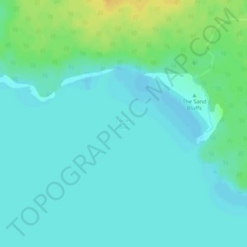
Name: Carter Bay topographic map, elevation, terrain.
Average elevation: 179 m
Minimum elevation: 172 m
Maximum elevation: 197 m
Other topographic maps
Click on a map to view its topography, its elevation and its terrain.
Central Manitoulin
Canada > Ontario > Central Manitoulin
Central Manitoulin, Manitoulin District, Ontario, Canada
Average elevation: 196 m