
Grants Pass topographic map
Interactive map
Click on the map to display elevation.
About this map
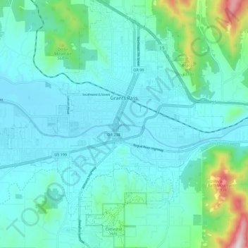
Name: Grants Pass topographic map, elevation, terrain.
Location: Grants Pass, Josephine County, Oregon, United States (42.38969 -123.39400 42.47168 -123.28756)
Average elevation: 374 m
Minimum elevation: 268 m
Maximum elevation: 953 m