
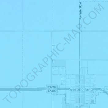
Westmorland topographic map
Interactive map
Click on the map to display elevation.
About this map
Name: Westmorland topographic map, elevation, terrain.
Location: Westmorland, California, United States (33.04374 -115.63001 33.04822 -115.62879)
Average elevation: -51 m
Minimum elevation: -56 m
Maximum elevation: -44 m