
Shahdol topographic map
Interactive map
Click on the map to display elevation.
About this map
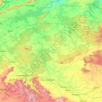
Name: Shahdol topographic map, elevation, terrain.
Location: Shahdol, Madhya Pradesh, India (23.02536 80.99872 24.28222 81.98550)
Average elevation: 479 m
Minimum elevation: 258 m
Maximum elevation: 1,078 m