
Craig Bay topographic map
Interactive map
Click on the map to display elevation.
About this map
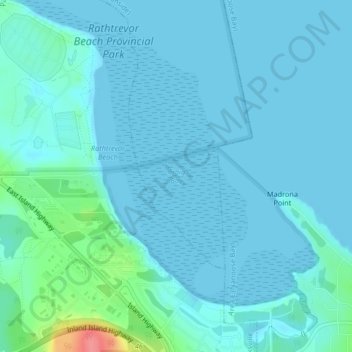
Name: Craig Bay topographic map, elevation, terrain.
Location: Craig Bay, Parksville, British Columbia, Canada (49.30376 -124.26420 49.32508 -124.23754)
Average elevation: 9 m
Minimum elevation: 0 m
Maximum elevation: 73 m