
Cripple Creek topographic map
Interactive map
Click on the map to display elevation.
About this map
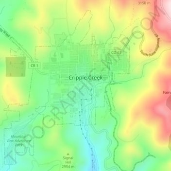
Name: Cripple Creek topographic map, elevation, terrain.
Average elevation: 2,946 m
Minimum elevation: 2,796 m
Maximum elevation: 3,165 m
For many years, Cripple Creek's high valley, at an elevation of 9,494 feet (2,894 m), was considered no more important than a cattle pasture. Many prospectors avoided the area after the Mount Pisgah hoax, a mini gold rush caused by salting (adding gold to worthless rock).