
Tenmile House topographic map
Interactive map
Click on the map to display elevation.
About this map
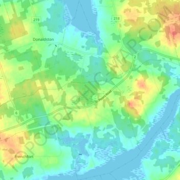
Name: Tenmile House topographic map, elevation, terrain.
Location: Tenmile House, Queens County, Prince Edward Island, Canada (46.30927 -63.02274 46.36995 -62.95812)
Average elevation: 15 m
Minimum elevation: -2 m
Maximum elevation: 47 m