
Orangeville topographic map
Interactive map
Click on the map to display elevation.
About this map
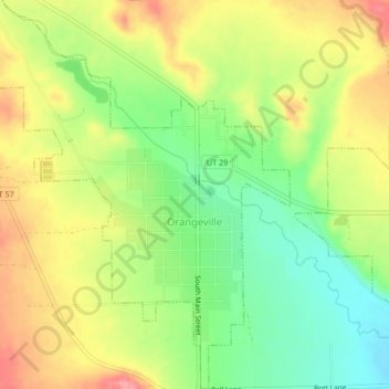
Name: Orangeville topographic map, elevation, terrain.
Location: Orangeville, Emery County, Utah, 84537, United States (39.21316 -111.07675 39.24573 -111.04318)
Average elevation: 1,776 m
Minimum elevation: 1,730 m
Maximum elevation: 1,824 m