
Gresham topographic map
Interactive map
Click on the map to display elevation.
About this map
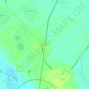
Name: Gresham topographic map, elevation, terrain.
Location: Gresham, Marion County, South Carolina, 29546, United States (33.91016 -79.43116 33.95016 -79.39116)
Average elevation: 14 m
Minimum elevation: 7 m
Maximum elevation: 22 m