
Twelve Mile Lake topographic map
Interactive map
Click on the map to display elevation.
About this map
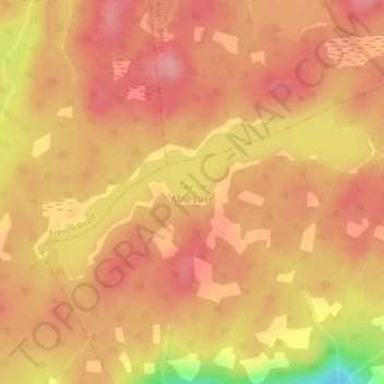
Name: Twelve Mile Lake topographic map, elevation, terrain.
Average elevation: 91 m
Minimum elevation: 13 m
Maximum elevation: 120 m
Other topographic maps
Click on a map to view its topography, its elevation and its terrain.
Fortress of Louisbourg
Canada > Nova Scotia > Fortress of Louisbourg National Historic Park
Fortress of Louisbourg, Fortress of Louisbourg National Historic Park, Cape Breton Regional Municipality, Cape Breton County, Nova Scotia, Canada
Average elevation: 3 m