
Blanding topographic map
Interactive map
Click on the map to display elevation.
About this map
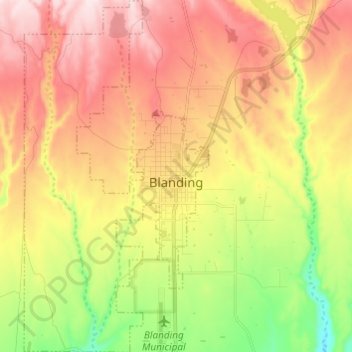
Name: Blanding topographic map, elevation, terrain.
Location: Blanding, San Juan County, Utah, 84511, United States (37.57737 -109.53055 37.67352 -109.46677)
Average elevation: 1,851 m
Minimum elevation: 1,659 m
Maximum elevation: 2,030 m