
Odenton topographic map
Interactive map
Click on the map to display elevation.
About this map
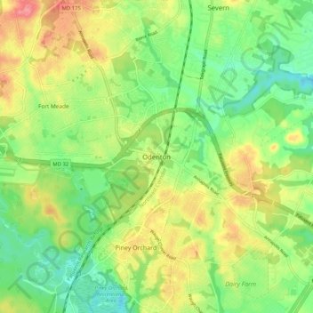
Name: Odenton topographic map, elevation, terrain.
Location: Odenton, Anne Arundel County, Maryland, 21113, United States (39.04972 -76.74735 39.12972 -76.66735)
Average elevation: 49 m
Minimum elevation: 14 m
Maximum elevation: 95 m