
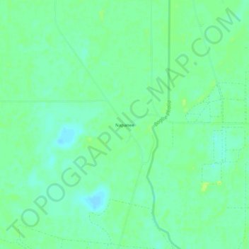
Napanee topographic map
Interactive map
Click on the map to display elevation.
About this map
Name: Napanee topographic map, elevation, terrain.
Location: Napanee, Washington County, Mississippi, United States (33.48623 -90.89093 33.52623 -90.85093)
Average elevation: 36 m
Minimum elevation: 29 m
Maximum elevation: 42 m