
Mont Ngafula topographic map
Interactive map
Click on the map to display elevation.
About this map
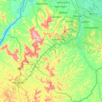
Name: Mont Ngafula topographic map, elevation, terrain.
Average elevation: 367 m
Minimum elevation: 238 m
Maximum elevation: 638 m
Other topographic maps
Click on a map to view its topography, its elevation and its terrain.
Lemba
Democratic Republic of the Congo > Kinshasa
Lemba, Kinshasa, Democratic Republic of the Congo
Average elevation: 351 m
Lukunga
Democratic Republic of the Congo > Kinshasa
Lukunga, Matete, Kinshasa, Democratic Republic of the Congo
Average elevation: 294 m