
Mbandaka topographic map
Interactive map
Click on the map to display elevation.
About this map
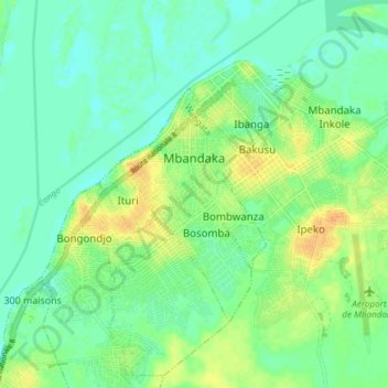
Name: Mbandaka topographic map, elevation, terrain.
Location: Mbandaka, Équateur, Democratic Republic of the Congo (0.01277 18.22727 0.06736 18.30225)
Average elevation: 308 m
Minimum elevation: 297 m
Maximum elevation: 325 m