
Purdy Lake topographic map
Interactive map
Click on the map to display elevation.
About this map
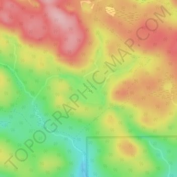
Name: Purdy Lake topographic map, elevation, terrain.
Average elevation: 328 m
Minimum elevation: 235 m
Maximum elevation: 407 m
Other topographic maps
Click on a map to view its topography, its elevation and its terrain.
Montreuil Lake
Montreuil Lake, Highway 533, Unorganized North Nipissing, Mattawan, Nipissing District, Ontario, Canada
Average elevation: 315 m