
Walnut Grove topographic map
Interactive map
Click on the map to display elevation.
About this map
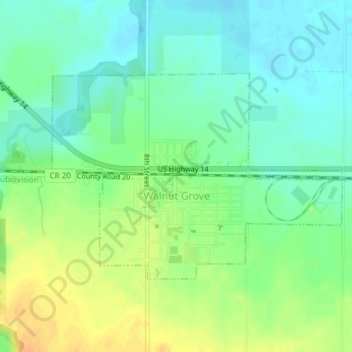
Name: Walnut Grove topographic map, elevation, terrain.
Location: Walnut Grove, Redwood County, Minnesota, United States (44.21662 -95.48278 44.23236 -95.45171)
Average elevation: 369 m
Minimum elevation: 356 m
Maximum elevation: 387 m
Other topographic maps
Click on a map to view its topography, its elevation and its terrain.
Lucan
United States > Minnesota > Redwood County
Lucan, Redwood County, Minnesota, United States
Average elevation: 331 m