
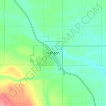
Nanton topographic map
Interactive map
Click on the map to display elevation.
About this map
Name: Nanton topographic map, elevation, terrain.
Location: Nanton, Town of Nanton, Alberta, T0L 1R0, Canada (50.30820 -113.81026 50.38820 -113.73026)
Average elevation: 1,035 m
Minimum elevation: 1,006 m
Maximum elevation: 1,128 m