
Manto Sipi / God's River topographic map
Interactive map
Click on the map to display elevation.
About this map
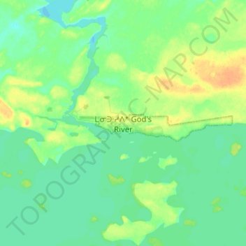
Name: Manto Sipi / God's River topographic map, elevation, terrain.
Location: Manto Sipi / God's River, Manitoba, R0B 0N0, Canada (54.79783 -94.10394 54.87783 -94.02394)
Average elevation: 183 m
Minimum elevation: 173 m
Maximum elevation: 200 m