
Garden Hill First Nation topographic map
Interactive map
Click on the map to display elevation.
About this map
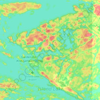
Name: Garden Hill First Nation topographic map, elevation, terrain.
Average elevation: 236 m
Minimum elevation: 222 m
Maximum elevation: 268 m
Other topographic maps
Click on a map to view its topography, its elevation and its terrain.
Island Lake
Canada > Manitoba > Garden Hill (Kistiganwacheeng) > Island Lake
Island Lake, Garden Hill (Kistiganwacheeng), Manitoba, Canada
Average elevation: 228 m