
Browntown topographic map
Interactive map
Click on the map to display elevation.
About this map
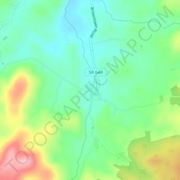
Name: Browntown topographic map, elevation, terrain.
Location: Browntown, Warren County, Virginia, United States (38.80993 -78.23519 38.81342 -78.23258)
Average elevation: 314 m
Minimum elevation: 260 m
Maximum elevation: 419 m