
Scottland topographic map
Interactive map
Click on the map to display elevation.
About this map
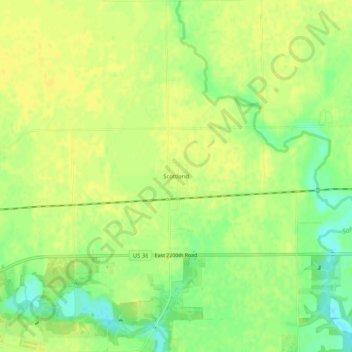
Name: Scottland topographic map, elevation, terrain.
Location: Scottland, Edgar County, Illinois, 61924, United States (39.78448 -87.62502 39.82448 -87.58502)
Average elevation: 192 m
Minimum elevation: 177 m
Maximum elevation: 198 m