
Red Mountain topographic map
Interactive map
Click on the map to display elevation.
About this map
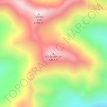
Name: Red Mountain topographic map, elevation, terrain.
Location: Red Mountain, Costilla County, Colorado, United States (37.11219 -105.18117 37.11229 -105.18107)
Average elevation: 3,862 m
Minimum elevation: 3,397 m
Maximum elevation: 4,276 m
Other topographic maps
Click on a map to view its topography, its elevation and its terrain.
Fort Garland
United States > Colorado > Costilla County
Fort Garland, Costilla County, Colorado, 08113, United States
Average elevation: 2,427 m