
Caen Park topographic map
Interactive map
Click on the map to display elevation.
About this map
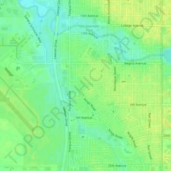
Name: Caen Park topographic map, elevation, terrain.
Location: Caen Park, Normandy Heights, Regina, Saskatchewan, Canada (50.43067 -104.63844 50.43211 -104.63564)
Average elevation: 576 m
Minimum elevation: 567 m
Maximum elevation: 582 m
Other topographic maps
Click on a map to view its topography, its elevation and its terrain.
Pilot Butte Creek
Canada > Saskatchewan > Regina
Pilot Butte Creek, Regina, Census Division No. 6, Saskatchewan, S4V 2Y7, Canada
Average elevation: 580 m