
Bhunter topographic map
Interactive map
Click on the map to display elevation.
About this map
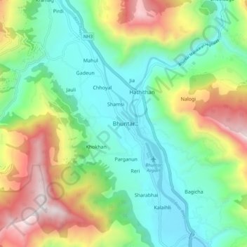
Name: Bhunter topographic map, elevation, terrain.
Location: Bhunter, Kullu, Himachal Pradesh, 175126, India (31.86265 77.12905 31.90265 77.16905)
Average elevation: 1,299 m
Minimum elevation: 1,071 m
Maximum elevation: 2,121 m